Aerial Drone Mapping
Starting at $350
Typical mapping project includes:
Planned aerial mapping flight
High-resolution orthomosaic property map
Current aerial imagery
Digital map delivery
Identification of visible property features
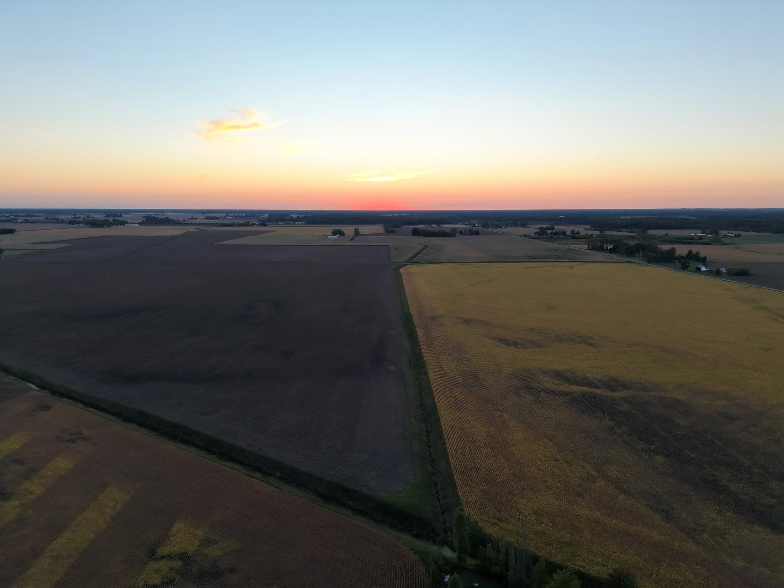
Drone mapping is intended for visualization, documentation, planning, and land-management purposes and does not replace a licensed boundary or land survey.
Northstar Drone Solutions provides high-resolution aerial mapping for landowners, farmers, hunters, property managers, contractors, and businesses throughout Michigan.
Using advanced drone technology, we capture hundreds of overlapping aerial images and process them into a detailed, up-to-date map of your property.
Unlike traditional satellite imagery, drone mapping provides current, high-resolution imagery that can help you better understand your land, document property conditions, plan improvements, identify trails and access routes, and manage larger properties.
Mapping can be customized for hunting properties, farms, vacant land, construction sites, commercial properties, and large acreage.