

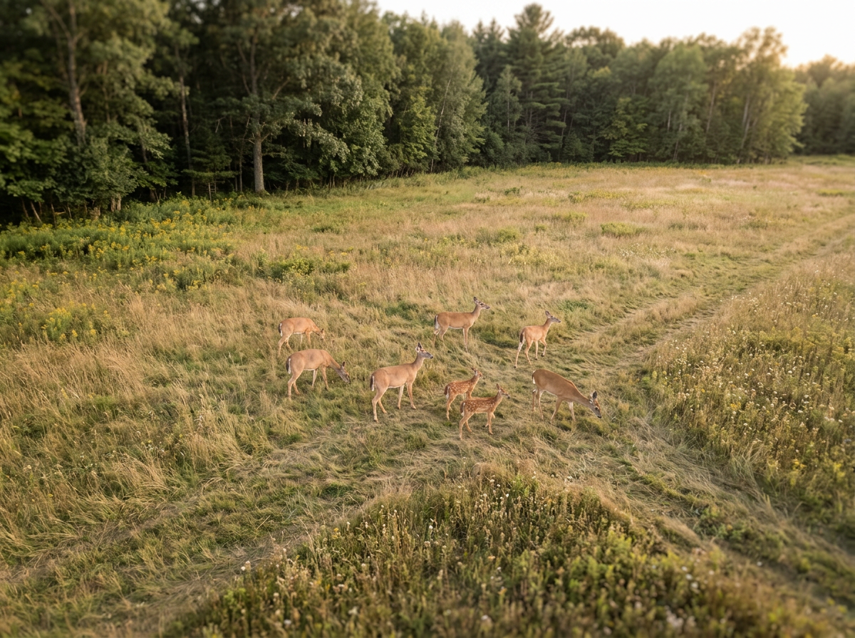
Deer Herd Analysis
Starting at $400
Up to 100 acres — $400
Includes a comprehensive thermal aerial survey of the property.
Over 100 acres — $2.50/acre
Your survey includes:
Thermal aerial survey of the property
Estimated total deer observed
Buck-to-doe ratio when identification conditions allow
GPS locations of deer sightings
Identification of concentration and activity areas
Thermal and/or zoom imagery of notable observations
Digital summary of survey findings
Large properties, wildlife refuges, conservation organizations, deer farms, and recurring monitoring programs — Custom Quote
Pricing may vary based on property size, terrain, tree cover, location, required flight time, and requested deliverables.
Our aerial deer herd analysis service uses advanced thermal drone technology to help landowners, hunters, hunting clubs, conservationists, wildlife refuges, deer farms, and property managers gain a better understanding of deer populations and how wildlife is using a property.
Using our DJI Matrice 4TD’s thermal imaging capabilities, we can efficiently survey large areas and identify deer that may be difficult to detect through traditional ground surveys. The collected data can provide valuable insight into herd numbers, buck-to-doe ratios, population distribution, habitat usage, and overall herd trends.
Whether the goal is wildlife conservation, habitat management, population monitoring, property management, or developing an informed hunting strategy, Northstar Drone Solutions provides an efficient, non-invasive way to gather valuable information from above.